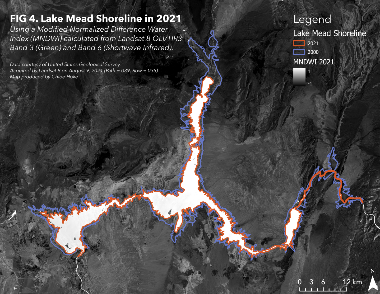
Tracking of Lake Mead Shoreline and Volume with NDVI
Manual digitization of the changing extent of the Lake Mead shoreline with use of NDVI to determine land/water distinction. Includes quantification of volumetric change in the lake’s water from 2000 to 2021.
